 THE NEIGHBORHOOD mapping project produced by the LA Times has solicited healthy debate about where Los Angeles communities begin, end and overlap. THE NEIGHBORHOOD mapping project produced by the LA Times has solicited healthy debate about where Los Angeles communities begin, end and overlap.But this comment on the Atwater Village neighborhood map is an interesting study in micro-geography: Never mind the wisdom of associating a neighborhood with the Toonerville gang (or the fact that the train tracks, not San Fernando Rd., are the natural eastern border of both city and neighborhood). But is there something to this 3-way split? What are the differences, perceived or real, between the 3 Atwater Villages? |
March 12, 2009
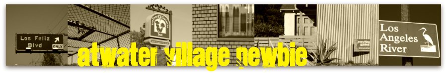
LA Times Commenter Would Split Atwater Village 3 Ways
Subscribe to:
Post Comments (Atom)
4 comments:
At least I'd still be in Atwater. That said, it makes no sense to break up one of the rare really defined geographic areas of the city. We're all Atwater.
seems incredibly unnecessary. Atwater is so much smaller geographically and numerically compared to so many other designated neighborhoods, I don't see the benefit to smaller designations. If there is some need, I'd ask then why the current distinctions of North, Central, and South Atwater are insufficient. They don't seem to be.
Sad that "Toonerville" has such a negative connection. It's fun to say.
Almost as fun as saying "Tropico," but Glendale has a lock on that neighborhood name...
Post a Comment